


Latest Version
Version
1.22.4
1.22.4
Update
March 14, 2025
March 14, 2025
Developer
Esri
Esri
Categories
Catalogs
Catalogs
Platforms
Android
Android
Downloads
0
0
License
Free
Free
Package Name
com.esri.arcgisquickcapture
com.esri.arcgisquickcapture
Report
Report a Problem
Report a Problem
More About ArcGIS QuickCapture
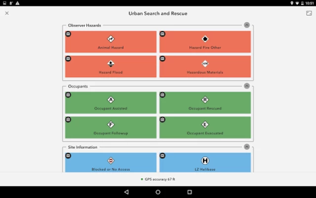
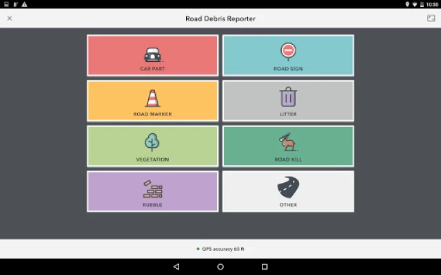
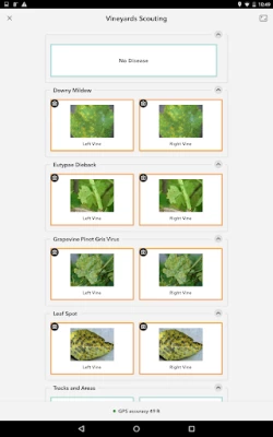
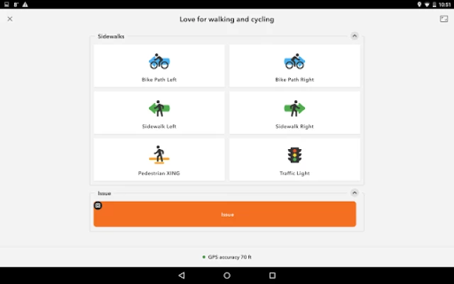
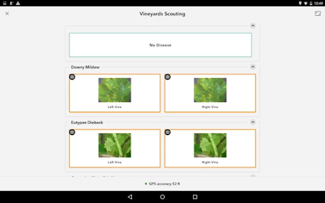
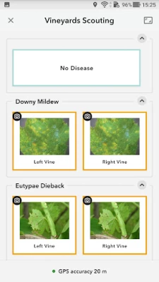
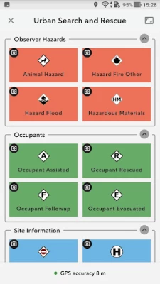
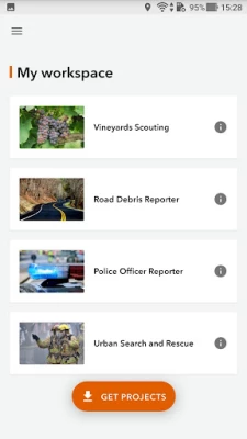
ArcGIS QuickCapture is the simplest way to capture field observations. Record GIS data with a single tap on your device. Automatically send locations, photos, and other attributes back to your office in real time. It’s integrated with ArcGIS, you can effectively visualize data you’ve never had access to before.
Rate the App
Add Comment & Review
User Reviews
Based on 0 reviews
No reviews added yet.
Comments will not be approved to be posted if they are SPAM, abusive, off-topic, use profanity, contain a personal attack, or promote hate of any kind.


More »

Popular Apps

Peacock TV: Stream TV & MoviesPeacock TV LLC

Mr.Billion: Idle Rich TycoonIDSIGames

WPS Office-PDF,Word,Sheet,PPTWPS SOFTWARE PTE. LTD.

Ludo King®Gametion

Statastic Basketball TrackerStatastic Solutions FlexCo

TCG Card Store Simulator 3DBlingames

FatsomaFatsoma Android

RealVNC Viewer: Remote DesktopRealVNC Limited

Truth or Dare Game - OweeOwee

3D Chess GameA Trillion Games Ltd
More »
Editor's Choice

Grim Soul: Dark Survival RPGBrickworks Games Ltd

Craft of Survival - Gladiators101XP LIMITED

Last Shelter: SurvivalLong Tech Network Limited

Dawn of Zombies: Survival GameRoyal Ark

Merge Survival : WastelandStickyHands Inc.

AoD Vikings: Valhalla GameRoboBot Studio

Viking Clan: RagnarokKano Games

Vikings: War of ClansPlarium LLC

Asphalt 9: LegendsGameloft SE

Modern Tanks: War Tank GamesXDEVS LTD